
How Austin's districts came to be
Place · index
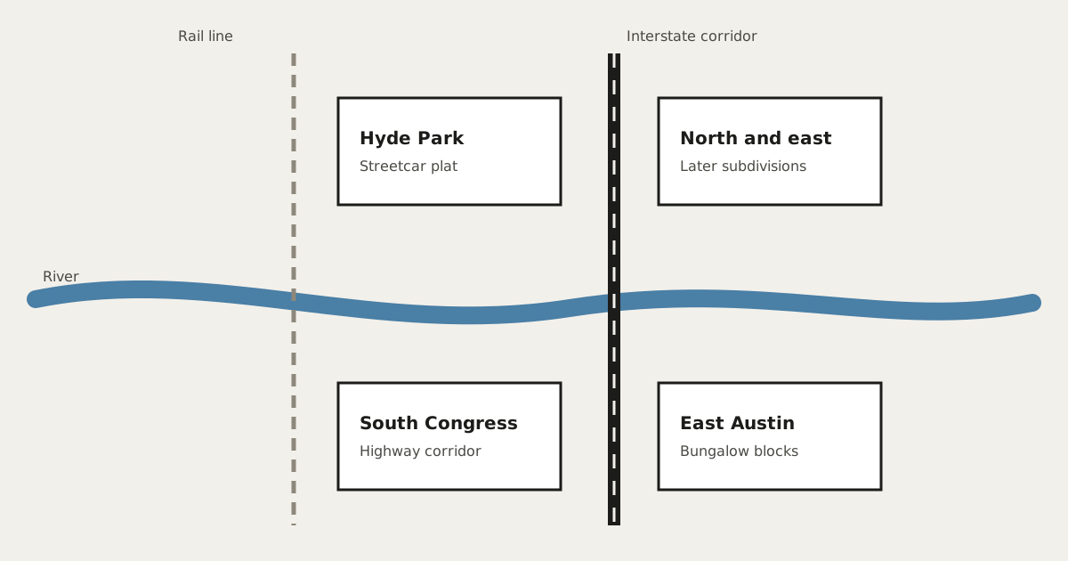
Austin's districts were not laid out from a single plan. They accumulated, and three pieces of infrastructure did most of the shaping: the river across the middle of the city, a rail line running north and south, and later an interstate corridor cut roughly parallel to it. Each of them settled where building could go, where it was worth going, and where it stopped.
The river as the first divide
Before anything else, the water divided the city into a north side and a south side, and for a long period crossing it was inconvenient enough to make the two sides develop at different speeds. The north side held the institutions and the older commerce; the south side developed later and along the roads that crossed. This is why housing stock of similar age can feel so different on either side: it arrived for different reasons and at different densities.
The rail line and the streetcar plats
The next shaping force was transport within the city. Late nineteenth-century suburban development followed streetcar lines, because a streetcar defined how far from the centre a household could live and still get to it. Subdivisions were laid out along those routes on a tight grid with narrow lots, because the walk from the house to the stop had to be short. That geometry is still legible today in the districts that were platted then, and it is the reason those areas have small lots, alleys, and a street pattern that connects in every direction rather than terminating in cul-de-sacs.
The interstate as a boundary
The most consequential twentieth-century intervention was a limited-access corridor driven north to south through already-built neighbourhoods. A road of that kind does something a street does not: it separates. Crossing points become few and unpleasant, businesses reorient to face the corridor rather than the neighbourhood, and land immediately beside it becomes worth less for housing and more for storage and light industry.
Where such a corridor is built along an existing social boundary, it hardens it. That is what happened here, and it is discussed in more detail on the East Austin page, because the boundary in question had been drawn on paper decades before it was drawn in concrete.
Districts covered here
- East AustinA planning decision drew a line, an interstate later reinforced it, and the housing stock behind it — bungalows, shotgun plans and infill — records both events.
- Hyde ParkA late nineteenth-century streetcar suburb whose original plat still governs how the area works: small lots, a connected grid, and a canopy that took a century.
- South CongressA highway corridor that became a commercial destination, and the quieter residential blocks that sit immediately behind its frontage.
How to read a district you do not know
A few observations do more than any description. Look at lot widths, which tell you what the area was platted for and when. Look at whether the streets connect or terminate, which dates the subdivision within a few decades. Look at where the trees are, because mature canopy takes fifty years and cannot be added. Look at the relationship between the houses and the street: porches close to the pavement belong to one era, garages facing forward to another.
Then look at what the edges do. Districts are defined less by their centres than by what bounds them, and a district bounded by a park behaves quite differently from an identical one bounded by a freight line, whatever the houses inside look like.